For iPhone, iPad and Apple Watch

GenAv CoPilot

From your POH to your logbook.

Plan the flight with your aircraft's own figures, fly it with a GPS that says how good its fix is, then log it and share it. For general aviation pilots in the UK.

Coming soon to the App StoreSee what it does

Situational awareness only. Not for primary navigation.
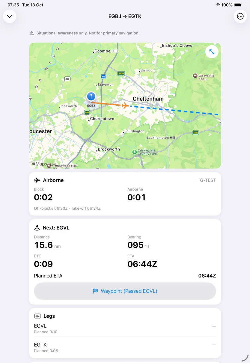
The in-flight screen on iPad on the EGBJ to EGTK plan: a map of the route near Gloucestershire, Airborne with a block time of 0:02 and an airborne time of 0:01, and the next waypoint, EGVL, 15.6 nautical miles away on a bearing of 095 degrees true, with an ETE of 9 minutes and an ETA of 06:44 UTC.
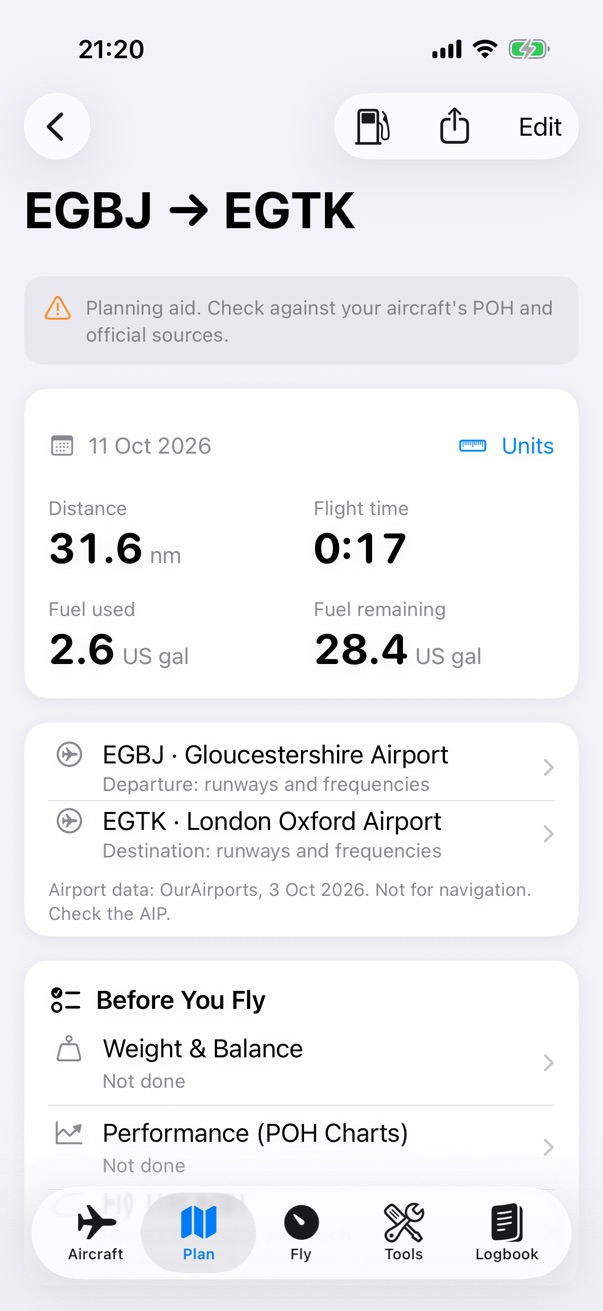
The flight plan for EGBJ to EGTK: 31.6 nautical miles, 17 minutes flight time, 2.6 US gallons used and 28.4 remaining, with the departure and destination airports and the Before You Fly list.
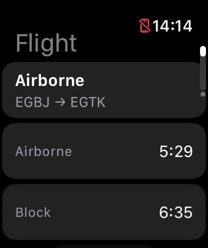
The Watch Flight screen while the iPhone records the EGBJ to EGTK flight: Airborne, with an airborne time of 5:29 and a block time of 6:35.

It starts with the book

Built around your POH.

POH Pilot's Operating Handbook
The handbook for your aircraft: its limits, its loading figures, its performance charts and its checklists.

Enter the loading figures once. Read the CG envelope from a photo of the chart. Trace the performance charts the way you would with a ruler and a pencil. Every plan then works from them, and you check each result against the book.

Your aircraft, from its POH
82 84 86 88 90 92 94 96 1200 1400 1600 1800 2000 2200 2400 2600 1Read the printed labels 2Fit the grid to them 3Trace the outline 4Place the corners Max weight 2,437 lbForward limit 84.0 inAft limit 93.0 in EXAMPLE CHART
How the envelope is read from a photo of the chart, on your device. Text recognition reads the printed axis numbers (16 on this example chart) and the app fits its grid to them. Edge detection traces the outline, you place or check each corner, and the review shows the limits before you save.

Plan

Plan on the map.

Tap the departure, turning points and destination. Add each leg's wind, and the app works out the headings, ground speeds and times, with the fuel and what's left at landing.

Planning, step by step
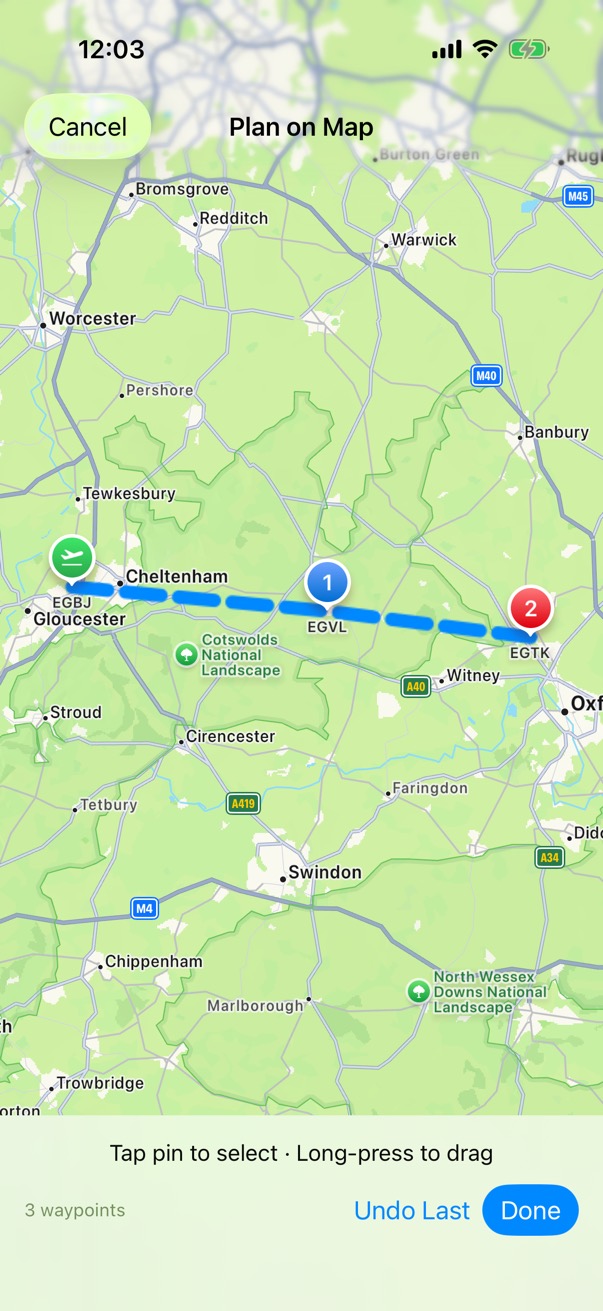
Plan on Map: the route from EGBJ through waypoint EGVL to EGTK drawn on Apple Maps, with buttons to undo the last waypoint or finish.
The flight plan for EGBJ to EGTK: 31.6 nautical miles, 17 minutes flight time, 2.6 US gallons used and 28.4 remaining, with the departure and destination airports and the Before You Fly list.
Distance
31.6 nm
Flight time
0:17
Fuel used
2.6 US gal
At landing
28.4 US gal

The example plan, EGBJ to EGTK.

Check

Weight & Balance and performance, for this flight.

Load the aircraft and see the centre of gravity against its envelope, before and after the fuel burns. Trace the take-off chart for the day's conditions. Before You Fly says if anything changes afterwards.

How the Weight & Balance works
84868890921,2001,6002,0002,400 CG arm (in) lb NORMAL CATEGORY Take-off2,130 lb · 87.01 in Landing2,048.9 lb · 86.69 in
Weight & Balance for the example flight, to scale. Each item's weight times its arm is its moment; the total moment over the total weight is the centre of gravity, 87.01 in at 2,130 lb. After 1.5 hours at 9 US gal an hour, 13.5 gallons of AVGAS (6.01 lb a gallon, 81.1 lb) come off at the fuel arm, so the CG moves forward to 86.69 in.

Fly

Take-off and landing, from your GPS speed.

Start recording at off-blocks. The app finds the take-off and the landing, follows your legs, and shows the next waypoint's distance, bearing and ETA.

Recording a flight
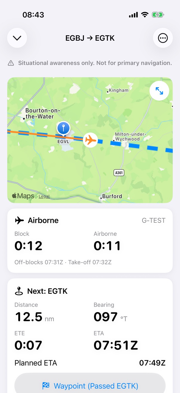
The in-flight screen while airborne on the EGBJ to EGTK plan: a map of the route and track, block time 0:12 and airborne time 0:11, and the next waypoint, EGTK, 12.5 nautical miles away on a bearing of 097 degrees true, with an ETE of 7 minutes and an ETA of 07:51 UTC against a planned 07:49.
Block
0:12
Airborne
0:11
Next
EGTK
Distance
12.5 nm
ETE
0:07

Readouts from the in-flight screen on the example flight.

GPS

When the GPS goes quiet, it says so.

Held and estimated values are marked on screen. Estimates are never recorded, and after 3 minutes without a fix the card shows No GPS.

The GPS card
Last fix Along the last track, at the last ground speed Estimated POSITION SPEED, TRACK GPS FIXESLiveFrom GPS FIRST 10 SLast fixHeld after 5 s 10 S TO 3 MINEstimatedHeld AFTER 3 MINNo GPSNone
When fixes stop, the last fix stays on screen and the ground speed and track are held once they're 5 seconds old. From 10 seconds the position is estimated along the last track at the last ground speed, for up to 3 minutes, then the card shows No GPS. Estimates are marked, never recorded, and aren't for navigation. The columns show the order, not a time scale.

Log

Into your logbook, once you've checked it.

Add to Logbook suggests the times, the class, the night time and the landings from the GPS record, and says where each came from. Nothing is saved until you tap Save.

The logbook and currency
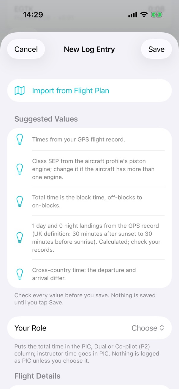
A new log entry made from the recorded flight. It lists the values suggested from the GPS record: the times, class SEP from the aircraft profile, the total time, one day landing by the UK definition, and cross-country time, and says to check every value because nothing is saved until you tap Save.
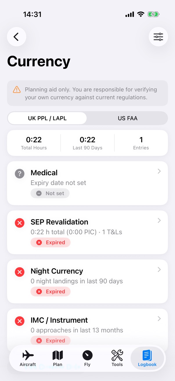
The Currency screen under UK PPL and LAPL rules: 0:22 hours in total from 1 entry, then the medical with no expiry date set, and SEP revalidation, night currency and IMC and instrument, each marked expired.

Apple Watch

On your wrist.

Your checklists, the flight's status while your iPhone records, a fuel tank reminder, and a GPS tracker of its own.

The Watch app
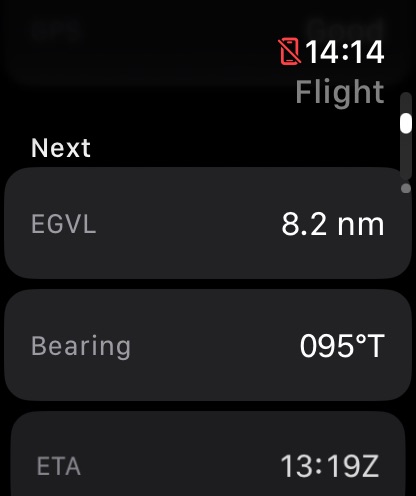
The Watch Flight screen's next waypoint: EGVL, 8.2 nautical miles away on a bearing of 095 degrees true, with an ETA of 13:19 UTC.
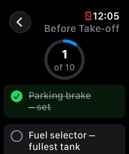
The Before Take-off checklist on the Watch with the parking brake ticked off, 1 of 10 done.
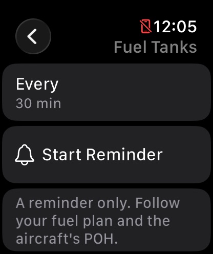
The Fuel Tanks reminder on the Watch: every 30 minutes, a button to start the reminder, and a note that it is a reminder only.
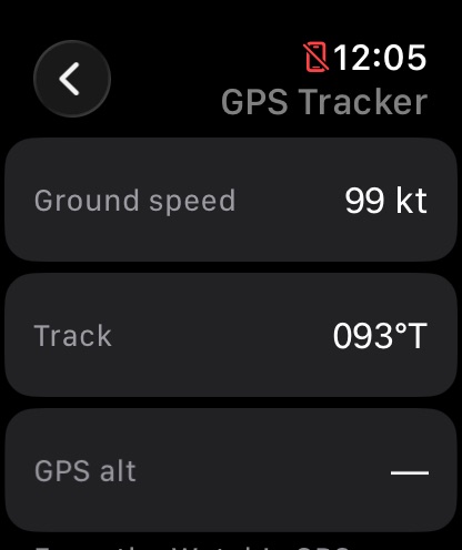
The Watch GPS Tracker from the Watch's own GPS: ground speed 99 knots and track 093 degrees true.

Night lighting

Red on black, for flying at night.

Turn on night lighting and the app switches to a red palette on a black background. Status levels differ by brightness, and status badges carry an icon as well as a colour.
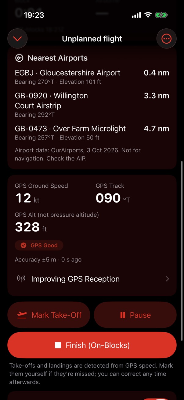
The in-flight screen in night lighting, in shades of red on black: the nearest airports, the GPS card with ground speed, track and GPS altitude, and the Mark Take-Off, Pause and Finish buttons.

Your data

No accounts. No analytics. No tracking.

What you create is on your devices and, if you use iCloud, in your own iCloud account. Nothing is sent to the developer, and files leave the app only when you share them.

Your data
sync, if you use iCloud sync checklists, flight status only files you share map images Your iPhonewhere you create it Your iCloudyour own account Your iPadthe same data Your Apple Watchits own GPS stays on it Another pilotwhen you tap Share Apple Mapsmap images, from Apple The developernothing is sent
Where your data goes. It's created on your device and kept in your own iCloud if you use it. The Watch gets your checklists and the flight's status. Another pilot gets a file only when you share one. Maps load images from Apple. There are no accounts, analytics or tracking, and nothing reaches the developer.